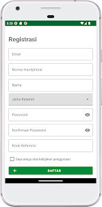
Deskripsi Wilkerstat BPS
Aplikasi Wilkerstat BPS adalah aplikasi yang digunakan untuk melakukan akuisisi data lapangan berupa data geotagging (geolokasi) serta foto sebuah objek baik itu infrastruktur, bangunan, maupun tutupan lahan yang biasa disebut dengan landmark.
Buka